Winter weather alerts are in place for parts of seven states as an early spring storm moves northeast, bringing heavy snow to the Great Lakes and New England.
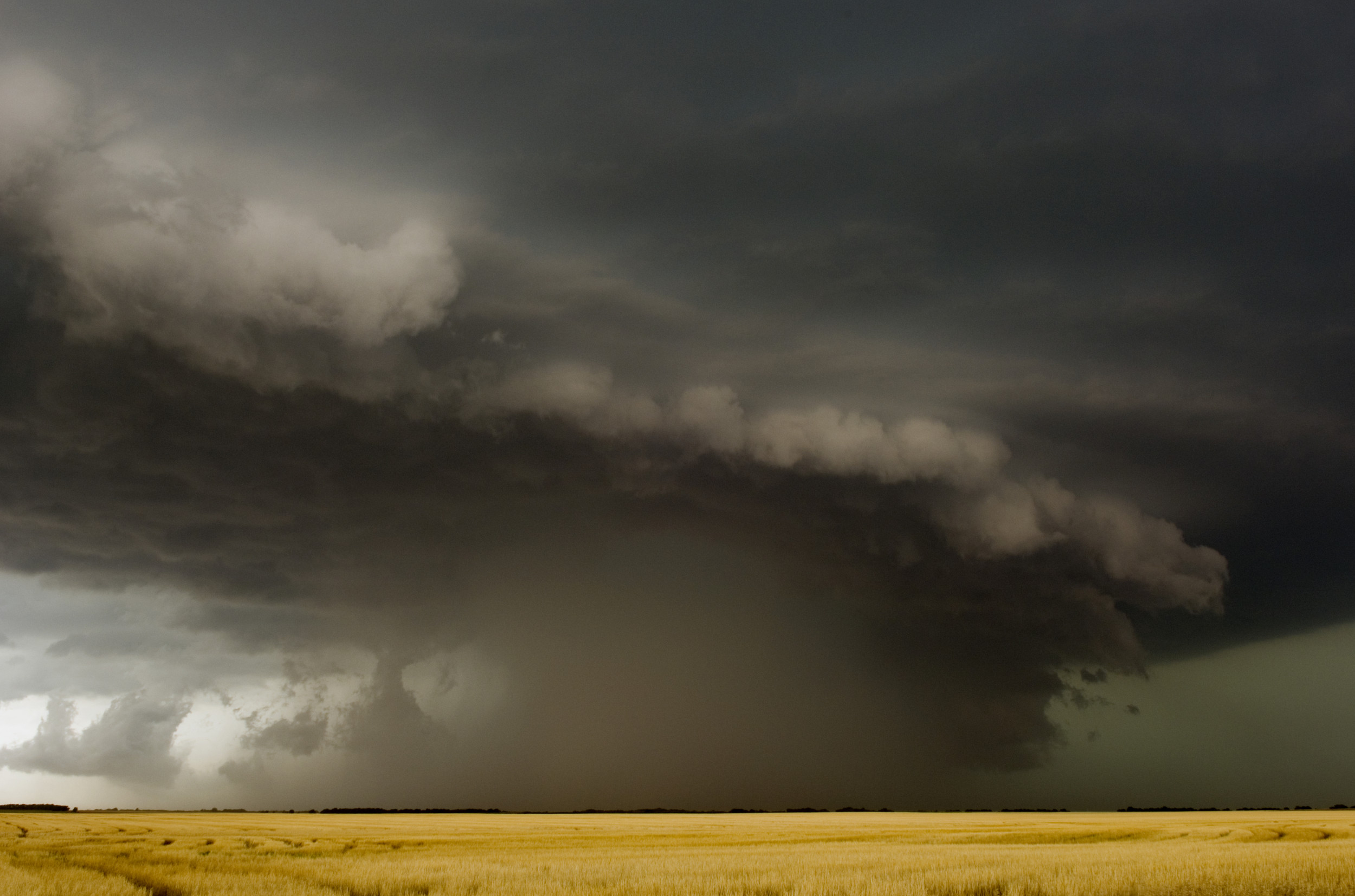
The National Weather Service (NWS) has issued warnings for Alaska, Maine, Michigan, New Hampshire, New York, Vermont and Wisconsin, as the storm—which sparked tornado watches in the central-eastern Midwest—is set to bring "numerous weather hazards" and dropping temperatures to the region.
In its latest forecast, the NWS said that the weather front is expected to strengthen rapidly into Tuesday evening, with an area of low pressure pushing into the Great Lakes and bringing intense snowfall to areas west of Lake Michigan. This will be followed by another area of low pressure developing across the mid-Atlantic on Wednesday and pushing northeast into New England on Thursday.

In eastern Wisconsin, additional snow accumulations of up to 9 inches are possible through Wednesday afternoon, with winds as high as 45 miles an hour causing areas of blowing and drifting snow.
The NWS warned that heavy snow and strong winds could bring down tree branches and power lines in the region. Near Lake Michigan, visibility will be reduced to less than 3 miles as snow rates reach 1 inch an hour at times.
In Michigan's northeastern peninsula, up to 15 inches of snow and winds of 50 miles an hour are predicted through Thursday morning, with the strongest winds occurring on Wednesday.
The Great Lakes region has already seen several bouts of heavy snow throughout the winter, with as much as 3 feet of snow falling during one storm period in January.
After impacting the Great Lakes, heavy snow is set to develop over northern New York state on Wednesday afternoon, before spreading further northeast—with up to 18 inches of snowfall accumulating in some areas.
In northern New York and into Vermont, up to 2 feet of snow and ice of around a 10th of an inch are predicted, along with winds gusting as high as 60 miles an hour from Wednesday into Friday morning.
"Travel on mountain passes may be impossible at times due to localized blizzard and whiteout conditions," the NWS said, with snowfall rates of more than 1 inch an hour falling on Wednesday night.
In New Hampshire, snow accumulations of up to 20 inches and sleet of around 1 inch are anticipated, while in higher terrain totals might approach 2 feet. Winds as high as 50 miles an hour are also expected.
These conditions will continue into Maine, where winds of up to 55 miles an hour are predicted, especially near the coast, bringing the threat of power outages and "very dangerous" driving conditions.
Two weeks ago, New England faced several rounds of snow from two late winter fronts, after a northeasterly storm brought snow showers to the region the week prior.
Uncommon Knowledge
Newsweek is committed to challenging conventional wisdom and finding connections in the search for common ground.
Newsweek is committed to challenging conventional wisdom and finding connections in the search for common ground.
About the writer
Aleks Phillips is a Newsweek U.S. News Reporter based in London. His focus is on U.S. politics and the environment. ... Read more