Residents in parts of Vermont were trapped in their homes as severe rains caused flooding that swept cars away and created life-threatening conditions.
The National Weather Service (NWS) has issued flash flood warnings across the state, including for the state capital, Montpelier, as well as for parts of New York. It warned on Monday night of the "serious situation" developing across the central areas of Vermont.
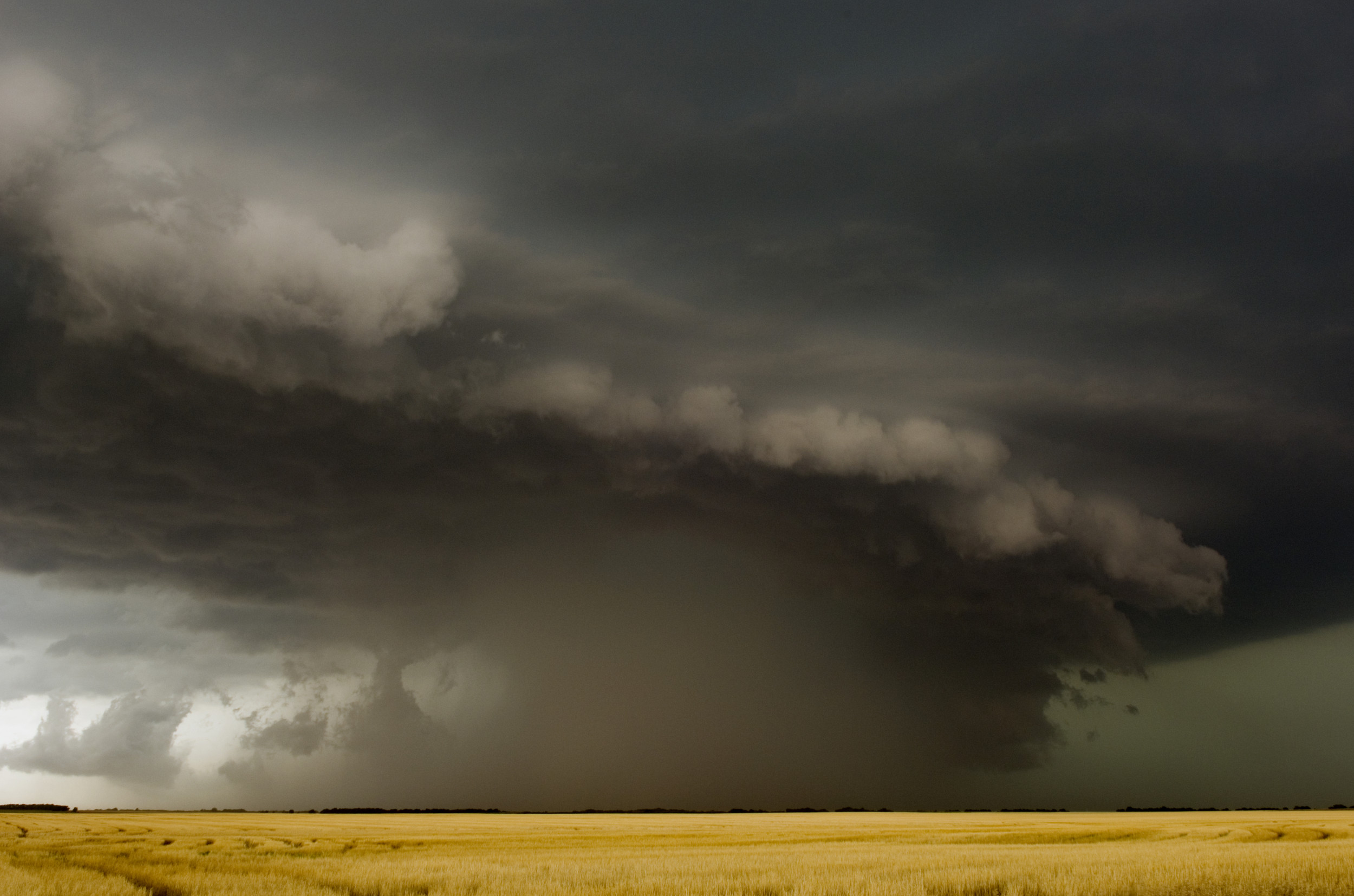
Earlier that day, it had said it expected rainfall "capable of producing considerable to catastrophic flooding," with local amounts in excess of seven inches. Rescue efforts were underway.
Ahead of the storm, on Sunday, Vermont Governor Phil Scott declared a state of emergency, which was approved by President Joe Biden on Tuesday morning while in Vilnius, Lithuania, for a NATO summit.

Scott said in his announcement that swiftwater rescue teams had been placed in "strategic locations" throughout the state and urged residents to monitor weather reports and local flooding levels.
In a statement given to Newsweek, Vermont Emergency Management said that teams had performed over 50 rescues as of 9 p.m. ET on Monday, and that they were primarily located in the areas "of greatest concern," including Londonderry, Ludlow and Middlesex.
The Associated Press, citing emergency officials, reported that there had been no flood-related injuries or deaths in Vermont, but that one person had been killed in New York attempting to escape from a flooded home.
Newsweek approached the Federal Emergency Management Agency via email for comment on Tuesday.
Serious, life-threatening flooding is occurring today across much of Vermont. Emergency crews have conducted rescues in multiple communities. About two dozen state roads are closed as of 10AM. Flash flood warnings are in effect from the Massachusetts line to the Canadian border. pic.twitter.com/09ryZ1N7bR
— Vermont State Police (@VTStatePolice) July 10, 2023
Videos on social media have shown the extent of the damage already brought by the heavy and widespread rains.
One TikTok clip, uploaded on Monday, from Ludlow, a rural mountain town in the central southern region of Vermont, shows a residential road flooded to the tops of cars and fast-moving water nearby, leaving locals stranded in their homes.
"Stuck at our house, no way out of town," Kiram Joseph wrote in the caption.
Another clip, purportedly from the same town, shows a car upturned in the flood water, while footage from Winooski, a suburb of Burlington, shows the vast volume of water rapidly flowing downstream.
@kiramjoseph Stuck at our house, no way out of town🥹#vermontflooding#ludlowvt
♬ Drowing. - Undoing & The voice of the Void
Other videos from across the state show roads being washed away by the floodwaters and bridges becoming impassable.
On Monday evening, Vermont State Police announced that the I-89 had been closed between Berlin and Middlesex due to "excessive" floodwaters, adding that there were "no passable detours" around the closed section.
It also noted U.S. Route 2 had multiple closures between Montpelier and Richmond, as well as the shutting of nearly three-dozen state roads.
Shortly after, the U.S. Army Corps of Engineers in the New England District said it expects two dams near Jamaica and Townshend, Vermont, to spill "large quantities" of water resulting in "severe flooding downstream."
"We anticipate floodwaters to increase rapidly overnight, and we recommend taking precautions now," it added.
Rescue officials have said that a crew from New Hampshire and two from North Carolina had been drafted in to help Vermont's 11 water rescue teams, with more en route from Michigan, Massachusetts, New Jersey and Connecticut.
Bill Fraser, town manager for Montpelier, estimated that as of Monday night, floodwaters in the state capital had reached knee level, but that they were expected to rise a few more feet overnight.
Images from the city's police force show floodwaters reaching up to shop doorsteps, and the city closed its downtown district—the area worst hit—until noon on Tuesday.
"We are completely inundated," Fraser told the Associated Press. "The water is way, way higher than it ever got during [Storm] Irene."
Scott said on Monday that the flooding had already surpassed what the state had experienced during the 2011 tropical storm. Meteorologist Craig Ceecee wrote on Twitter that the Winooski River had already reached near its levels during Irene, with forecasts suggesting Montpelier's downtown would be left under a "devastating" 4-7 feet of water.
The NWS anticipates that the rain will ease off on Tuesday afternoon, but it expects flooding from the storm to continue. More rain is then expected to arrive in Vermont on Thursday.
Uncommon Knowledge
Newsweek is committed to challenging conventional wisdom and finding connections in the search for common ground.
Newsweek is committed to challenging conventional wisdom and finding connections in the search for common ground.
About the writer
Aleks Phillips is a Newsweek U.S. News Reporter based in London. His focus is on U.S. politics and the environment. ... Read more