An ominous warning issued ahead of Hurricane Ian's landfall left social media users terrified about what Floridians are in store for as the Category 4 storm barrels toward the state's west coast.
On Wednesday morning, the Florida Division of Emergency Management (FDEM) cautioned people from walking out into receding water in Tampa Bay or Charlotte Harbor.
"The water WILL return through storm surge and poses a life-threatening risk," the state agency tweeted.
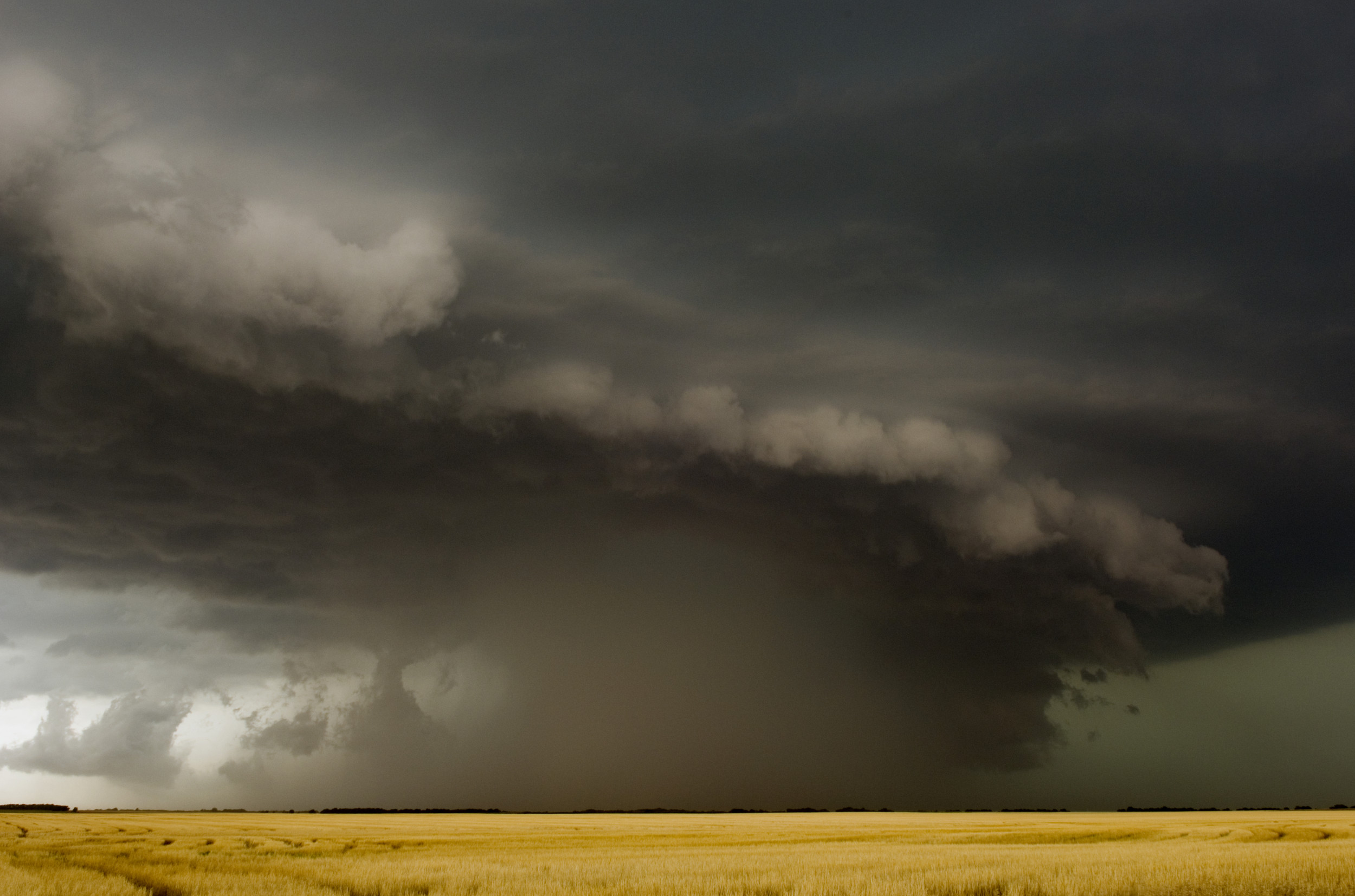
Storm surges are primarily caused by strong hurricane winds that collect water and push it forward, resulting in coastal flooding or rising tides like those seen in tsunamis. According to the National Hurricane Center and Central Pacific Hurricane Center, "storm surge is often the greatest threat to life and property from a hurricane."

One Reddit user, Evilsj, called the FDEM warning and evidence of the impending storm surge "the stuff of nightmares."
On Wednesday, the Tampa Police Department shared a photo taken by one of its lieutenants of the view at Bayshore Boulevard, where the large body of water has receded—"a clear sign that #hurricaneian is drawing near," the department tweeted.
"To our #Tampa residents, please, be smart! Going into the water is very dangerous and should be avoided. Don't put #FirstResponders at risk trying to save you," Tampa's police warned.
The National Weather Service Tampa Bay cautioned that the water will come back and that no one should attempt walking in locations with receding water.
The phenomenon involving the drop in sea level was also seen in Florida in 2017 when Hurricane Irma also pulled water from Tampa Bay.
Florida officials and residents have been preparing for the natural disaster that will arrive when Hurricane Ian is expected to make landfall Wednesday afternoon. More than 2 million residents are under evacuation orders, and those who have not yet fled are now being directed to shelter-in-place.
"If you are in any of those counties, it's no longer possible to safely evacuate," Florida Governor Ron DeSantis said at a Wednesday morning press briefing. "It's time to hunker down and prepare for this storm."
While the hurricane is still classified as a Category 4 storm, it is nearing the Category 5 threshold. Only two Category 5 storms have made landfall in the U.S. over the last three decades, both times in Florida.
Florida utilities have reported that more than 300,000 customers are without power, with the largest number of outages in Lee, Collier and Sarasota counties—near the eye of the storm. Bridges to Collier, Sarasota and Charlotte counties have also been closed in preparation for the storm.
Uncommon Knowledge
Newsweek is committed to challenging conventional wisdom and finding connections in the search for common ground.
Newsweek is committed to challenging conventional wisdom and finding connections in the search for common ground.
About the writer
Katherine Fung is a Newsweek reporter based in New York City. Her focus is reporting on U.S. and world politics. ... Read more